


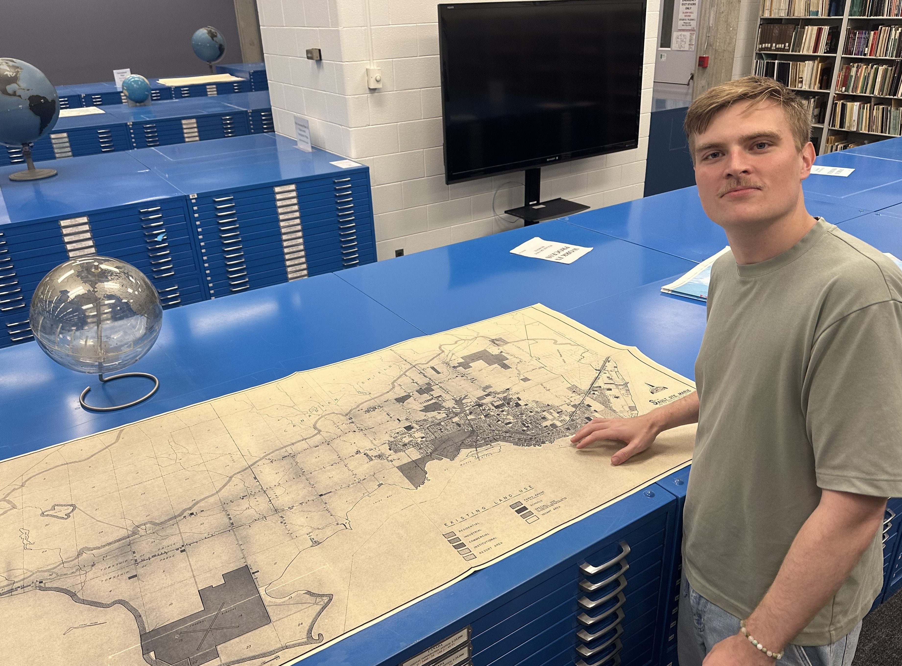
Photo: Mitchell Harris, special project archivist at the Sault Ste. Marie Museum, looks at a city land use map from the 1970s in the Map Collection Room at Scott Library, York University.
In a recent blog post, the Sault Ste. Marie Museum released an abridged version of the Repository for Cartography and Planning (RECAP), a new digital archive of maps depicting Sault Ste. Marie and surrounding area dating back to 1632. The full post reads:
The Sault Ste. Marie Museum’s Repository for Cartography and Planning (RECAP) is a digital database of street maps, cadastral surveys, subdivision plans and other cartographical materials related to Sault Ste. Marie, Ontario, Canada. There are 962 entries in the new RECAP 1.0 Beta release, the oldest of which is Samuel de Champlain’s map of New France from 1632. Approximately 25% of these entries have digital images available through the Museum as JPG, PDF and/or TIF files. The remaining 75% are available physically through different institutional archives or for purchase from the Ontario Land Registry Office, and a small number of entries exist only as citations with no known or available extant copies. The full version of RECAP to be released in 2027 will have an online graphical user interface (GUI) that supports search and filter capabilities across 100+ metadata categories, including map type, year of publication, location shown, scale, surveyor, printer, size, orientation, language, colour and more. A more detailed outline of the RECAP project and a release report for RECAP 1.0 Beta is available here.
If you have a map of Sault Ste. Marie in your possession, please consider lending it temporarily to the Museum to have it digitised and added to the RECAP collection. All inquiries and comments about RECAP can be directed to recap@saultmuseum.ca.
The Sault Star’s Brian Kelly also penned the following article about the new RECAP release:
Sault Ste. Marie residents can help efforts to bolster a database of maps documenting the city that stretches back hundreds of years.
Sault Ste. Marie Museum’s Repository for Cartography and Planning has collected nearly 1,000 maps featuring the community dating back to the 1600s over the last two summers.
Mitchell Harris, an Algoma University graduate and doctoral student at York University, is leading the effort.
“There’s maps out there,” said Harris. “We want them.”
The project has already assembled street maps, cadastral surveys, mining claims and industrial and subdivision plans. Most are from provincial and federal surveyors from the mid to late 1800s. Mitchell was particularly impressed by the work of Alexander Vidal and Joseph Cozens. Vidal surveyed the original plot of the Town of St. Mary, from East Street to West Street, north of Bay Street and south of Wellington Street, in 1846. Cozens is most represented in the museum’s database.
“He did a little bit of everything,” said Mitchell. His efforts included subdivision plans.
A shift from collecting furs to agriculture after the 1840s led to “a very exact kind of presentation” in maps to highlight who owned what land in the community.
The maps can help research efforts local historians, geographers and political scientists and residents eager to know more about the homes they lived on, the streets they lived on and the businesses their families owned. Checking a map can help efforts that open other doors, including items from the museum’s collection said executive director and chief curator Will Hollingshead.
“Maps are super important for historical research,” said Harris. Few artifacts are “as rigorous and complete as maps are.”
Cherry Street, for example, was off of Hugill Street– briefly – before being closed in 1952. Fourteen homes were on St. Thomas Street, near Ermatinger-Clergue National Historic Site, in 1930. The final six standing residences were demolished about 20 years ago. There’s other streets that have also “lived and died” in the city, said Mitchell.
Anyone who has maps can bring them to the museum to be digitized. Hours are Tuesday to Saturday from 10 a.m. to 4 p.m.. Call 705-759-7278 or email recap@saultmuseum.ca. Information, including the map’s title, date and surveyor are appreciated.
The oldest map is Samuel de Champlain’s map of New France dated 1632.
The project is helping Mitchell’s doctoral studies on the development of capitalism in the Sault. More information about RECAP is available at saultmuseum.ca/blog/recap-10-beta.
Soo History will share more information about the RECAP project when it becomes available.