


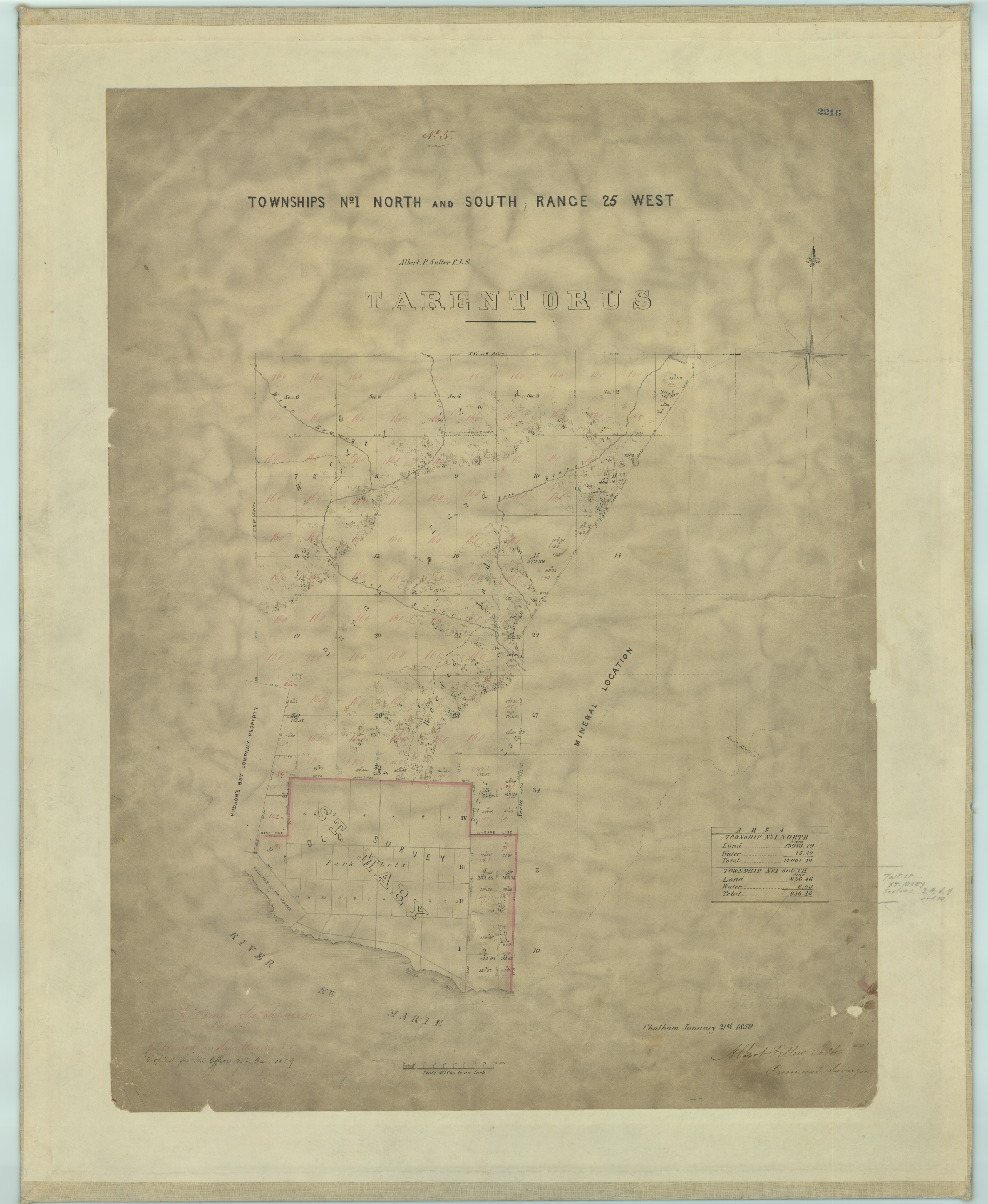
Photo: Salter, Albert Pellew. (1859). Townships No. 1 North And South Range 25 West [Survey]. Scale 1:40 (chains). Office of the Surveyor General 2216. Accessed via Sault Ste. Marie Museum’s Repository for Cartography and Planning (RECAP).
Did You know…?
Did You Know is a SooHistory weekly series that shares an odd, unknown or otherwise interesting fact about Sault Ste. Marie history every Monday at noon. All posts in this series can be found here. If you like these nuggets of local history, consider subscribing to our mailing list below.